8 Day Trekking at Kilimanjaro via Lemosho Route
Tour Overview
The Lemosho Route is a less-traveled path up Mount Kilimanjaro, beginning on the Western side of the mountain. It features stunning scenery as it meanders through lush forests and crosses the Shira Plateau. The route joins the Machame Route at Lava Tower and then descends to Barranco Camp via the Southern Circuit. Its extended duration allows for better acclimatization, which contributes to a higher summit success rate. Although it is slightly longer, its remarkable views and enhanced acclimatization make it a popular choice among climbers.
Tour Duration
8 DaysTour Plan
You will depart from Moshi, embarking on a 45-minute drive through charming mountainside villages to the Kilimanjaro National Park Gate. While we wait for our permits, you'll witness the lively activity of various crews preparing for their climbs. Once on the trail, you'll traverse through lush rainforest with winding paths, as your guide shares fascinating details about the local flora, fauna, and wildlife. Be prepared for potentially muddy and slippery conditions at these lower elevations; gaiters and trekking poles are highly recommended.
Distance: 4.8 km (3 miles)
Duration: 3-4 hours
Terrain: Rainforest
Elevation Range: 2389 m (7838 ft) to 2785 m (9137 ft)
Altitude Gain: 396 m.
After a restful night and a hearty breakfast, you'll leave the rainforest behind and follow an ascending path. The trail climbs steadily, offering expansive views as you reach the rim of the Shira Plateau. Temperatures will begin to drop as you transition into moorland.
Distance: 7.9 km (5 miles)
Duration: 4-6 hours
Terrain: Moorland
Elevation Range: 2785 m (9137 ft) to 3504 m (11,496 ft)
Altitude Gained: 719 m.
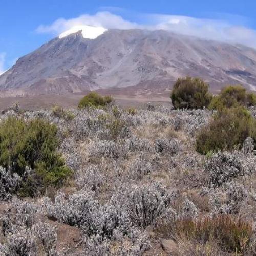
You will spend a full day exploring the Shira Plateau, enjoying a gentle walk eastward toward the glaciated peak of Kibo. The route takes you across the plateau to Shira 2 Camp, nestled in moorland meadows by a stream. From there, you’ll continue a less frequented site at the base of Lent Hills. This area offers various walking options, providing a great acclimatization opportunity. Shira is one of the highest plateaus on Earth.
Distance: 6.9 km (4.3 miles)
Duration: 5-7 hours
Terrain: Moorland
Elevation Range: 3504 m (11,496 ft) to 3895 m (12,779 ft)
Altitude Gained: 391 m.
Although you'll end the day at a similar elevation to where you started, this day is crucial for acclimatization. You'll begin by heading east up a ridge from the Shira Plateau, passing the junction toward Kibo Peak. Continuing southeast, you'll reach Lava Tower, also known as the “Shark’s Tooth” (4650 m / 15,250 ft). Afterward, you'll encounter a second junction leading to the Arrow Glacier before descending to Barranco Camp for the night.
Distance: 10.1 km (6.3 miles)
Duration: 4-6 hours
Terrain: Semi Desert
Elevation Range: 3895 m (12,779 ft) to 3986 m (13,077 ft)
Altitude Gained: 91 m.
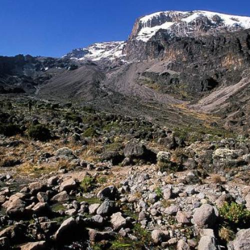
After breakfast, you'll tackle the steep Barranco Wall, a thrilling ascent showcasing the skill and agility of your crew as they navigate this challenging climb with apparent ease. From the top, you'll continue to the Karanga Valley and reach the junction connecting to the Mweka Trail. You'll spend the night at Karanga Camp.
Distance: 5.2 km (3 miles)
Duration: 4-5 hours
Terrain: Alpine Desert
Elevation Range: 3986 m (13,077 ft) to 4034 m (13,235 ft)
Altitude Gained: 48 m.
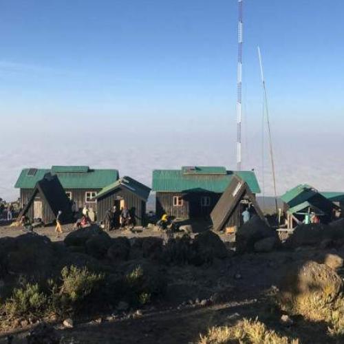
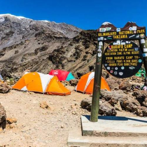
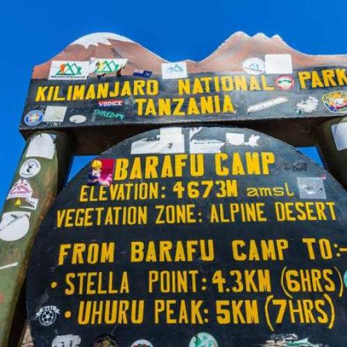
You’ll continue your ascent to Barafu Camp, completing the South Circuit, which provides stunning summit views from various perspectives. After an early dinner, you’ll rest and prepare for your summit night. Your overnight stay will be at Barafu Camp.
Distance: 3.3 km (2 miles)
Duration: 4-5 hours
Terrain: Alpine Desert
Elevation Range: 4034 m (13,235 ft) to 4662 m (15,295 ft)
Altitude Gained: 628 m.
As the early morning excitement builds, you'll begin your ascent between midnight and 2:00 a.m., tackling the most mentally and physically demanding part of the trek.
Congratulations! Reaching Uhuru Peak, the highest point on Mount Kilimanjaro and the entire continent of Africa, is a remarkable achievement. After taking photos, celebrating, and savoring the moment, you'll start your steep descent to Mweka Camp. You'll stop briefly at Barafu for lunch and a short rest. Given the loose gravel and volcanic ash, gaiters and trekking poles are highly recommended.
Distance: 13 km (8 miles)
Duration: 5-6 hours
Terrain: Glaciers, Snow-Capped Summit
Elevation Range: 4662 m (15,295 ft) to 5895 m (19,341 ft)
Altitude Gained: 1233 m
Descent: 3106 m (10,190 ft)
Altitude Lost: 2789 m
Your overnight stay will be at Mweka Camp, where you can enjoy a well-deserved rest on your final evening on the mountain.
After breakfast and a heartfelt ceremony of appreciation with your crew, you'll begin your descent to the Mweka Park Gate to collect your summit certificates. The weather will be warmer, and the terrain can be wet, muddy, and steep, so gaiters and trekking poles are highly recommended.
From the gate, a vehicle will transfer you to Mweka village for the 30-minute drive back to your hotel in Moshi. There, you'll enjoy a long-awaited hot shower, a celebratory dinner, and some well-deserved relaxation before your next adventure, whether it's heading home, going on a safari, or enjoying a trip to Zanzibar.
Distance: 9.1 km (6 miles)
Duration: 3-4 hours
Terrain: Rainforest
Elevation Range: 3106 m (10,190 ft) to 1633 m (5358 ft)
Altitude Lost: 1473 m.
Included/Exclude
National Park gate fees
Transport from Moshi to the mountain starting point and return
Camping fees
Certified, experienced, English-speaking guides
Porters' salaries
Rescue fees (required by the national park)
All meals on the mountain
Cooking equipment and eating utensils
2 nights accommodation at The Maridadi hotel or similar
Airport transfers from Kilimanjaro airport
International flights (From/to home)
Mountain gear
Tips (Tipping guideline US$ 50.00 per person per day)
Personal items (Souvenirs, travel insurance, visa fees, etc.)
Government imposed increase of taxes and/or park fee
Lunches, dinners, and drinks at your hotel in Moshi

